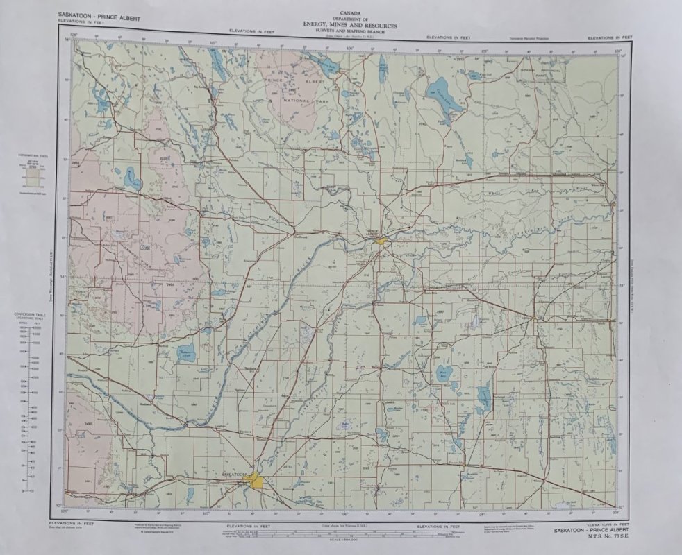
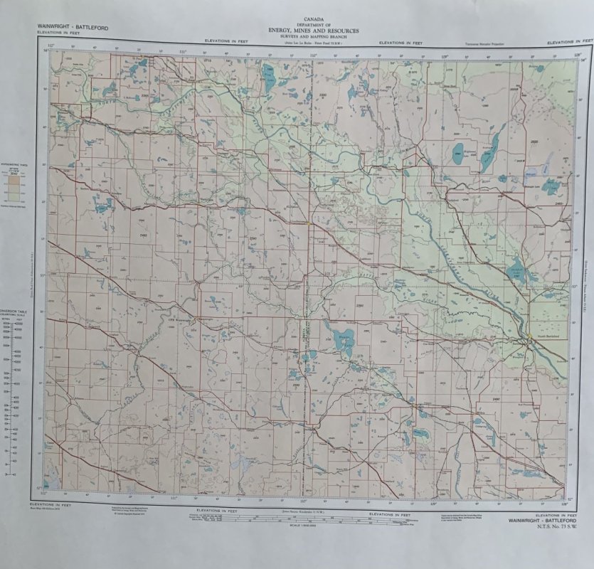
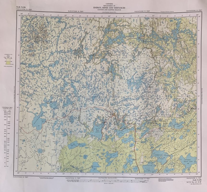
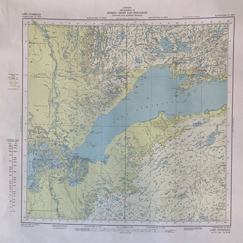
Detailed Canadian Topographical Charts / Maps starting at the US Border ( Latitude 49 Degrees North). Coverage includes the Canadian Rocky Mountain BC border with Alberta, all of Alberta, Saskatchewan & West 1/2 of Manitoba. Area of coverage is 49 to 60 North Latitude & 96 to 120 West Longitude. 130 Topo Maps total. Maps measure 29” x 24”. These are very detailed and show lots of terrain features. I also have a few extra maps available that are in the pictures posted. The Saskatoon Battleford Prince Albert maps are in one of the top trophy whitetail & big game areas in the world as well as most of the other charts. Battle River & Saskatchewan River areas are Whitetail Hunters Heaven as well as most of the Prairie Provinces covered by these charts. Lake details are amazing that anyone fishing up there will appreciate. Individual maps are perfect for framing and if I have an extra that is not part of the 130 map collection I will sell for $20 each, Complete 130 topo chart collection @ $200.
-
ODT Gun Show & Swap Meet - May 4, 2024! - Click here for info
Item Relisted! FS BC, Alberta, Saskatchewan, Manitoba 1:500,000 scale Topo Map Collection
- Thread starter nws
- Start date